
As has been said many times before, winter is coming. But this time, it’s really coming to Philadelphia – just a few weeks later than usual.
Philadelphia had a snowless Christmas, and while temps plunged to the low 20s in early January, it has been nowhere near as bad as last winter’s arctic New Year’s blast.
All that could change in the days to come. Forecasters are now warning of snowfall beginning Thursday night, to be followed by a potentially huge ice storm up and down the eastern seaboard. The storm system currently slamming the Midwest is headed east.
The developing winter storm, alternately referred to as a “significant winter storm” and a “potential nor’easter, is reportedly the same system that snowed in Colorado and Arizona last weekend and dumped as much as 20 inches of snow in places like Missouri earlier this week, where three people died in snow-related incidents.
The storm is forecast to weaken significantly as it heads east, but it still currently is being described as the strongest forecast storm of the season. Pittsburgh is warning of a potential ‘nor’easter.’ In New York City, some have even warned of up to a foot of snow.

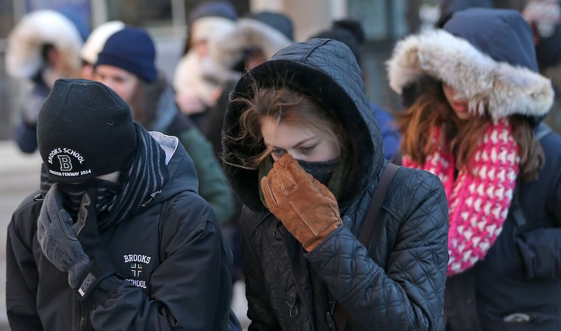
Feeling cold in Philly. (Credit: Charles Mostoller)
Philly’s first big winter storm is coming
For the Philadelphia region, according to the National Weather Service, the games will begin late Thursday, Jan. 17, as snowfall moves into the region for the second time this season. While Philadelphia is only forecast to get one to two inches of snow, and South Jersey will get a similar dusting, there could be two to four falling in the Lehigh Valley between I-95 and I-78.
Thursday evening and Friday morning commutes are both expected to be a slog due to the snow, the National Weather Services warns. (Hint: call in sick, if you can).
While Friday may be affected by residual snow, the forecast isn’t as bad – with temps forecast in the 40s. (This may be the best time to stock up on groceries and other supplies for the maelstrom to come.)
The real bad news is expected over the weekend, when at some point on Saturday, a powerful winter storm system is expected to move into the region, according to forecasters with Accuweather and the National Weather service.
While forecasts vary, it’s supposed to be a heavy-precipitation storm that will strike at some point on Saturday while the temps are still in the 40s, possibly beginning by dropping heavy rain on the area. (That’s also when the third annual Women’s March is scheduled, with Philadelphia hosting two dueling Women’s Marches on opposite ends of the Parkway, one organized by local activists, another by the national Women’s March organization.)
But sometime in the Saturday-to-Sunday range, a potential “flash freeze” is predicted, with temperatures expected to drop by 20 degrees or more. The rain will turn to ice and waters on the streets of Phildelphia will be icing over rather quickly.
That could lead to hazardous road conditions, frozen pipes, and all the other crises that beset the city in times of extreme cold.
Schools are already set to be closed for Martin Luther King Day on Monday.
While the storm will be moving past Philly at that point, some snow and ice could be here to stay. Powerful gusts of wind are predicted, as well as freezing temperatures – not expected to rise above 20 degrees at all on MLK Day. So Philly’s biggest volunteering day of the season may be significantly curbed as well.
By Tuesday, the precipitation will be gone, but temps are not forecast to rise above freezing.
Check back with MetroPhilly.us for the latest updates on the storm as it nears Philadelphia.